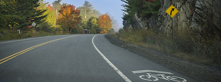
The Municipality of McDougall offers and maintains a 5 km twinned stretch of walking/biking trail that can be accessed from either the Nobel School just south of Avro Aero Blvd or from the McDougall Township office. The gravel trail to the west is a perfect path for motorized vehicles (ATVs/UTVs and snowmobiles), while the route to the east is a freshly paved walking/cycling path alongside Nobel Road (formerly Hwy 69). Parking is available in the former Tim Horton’s/Wendy’s parking lot, adjacent to the McDougall Township office.
Relevant Links
OntarioByBike.ca - Information regarding both on and off road cycling trails around the region, as well as a list of local trails.
www.parktoparktrail.org/trail-map/ - An interactive map of the local trails and biking roads.
www.parktoparktrail.com - A helpful list of trails in Parry Sound and surrounding areas.
Geocaching
Pack your GPS units and get outdoors to see what the nature side of McDougall and surrounding municipalities has to offer. With over 385 hidden caches sites within a 50km radius of Nobel, it has become a well-developed and popular hobby in the area.
Geocaching leaves no ecological footprint and promotes the use of trails. It is interactive fun for the whole family and all ages and is a great way to explore the great outdoors. Go to Parry Sound Tourism's page on geocaching or check out the video below for more information:
A list of GPS coordinates for local cache sites can be found by visiting www.geocaching.com as well as a downloadable mobile app found by visiting www.geocaching.com/mobile.