The planning department provides information and advice to the general public, Council, and provides guidance for the development of the municipality, with respect to land use planning including the Township's Official Plan and Zoning By-law. Public access of the West Parry Sound Geography Network is a fantastic tool for determining the zoning areas of every property in the municipality.
 Planning is responsible for both short and long range planning within the Municipality, including the processing of official plan (pdf 404kb) and zoning by-law amendments (pdf 580kb), site plan approvals, plans of subdivision and condominiums, applications to purchase shore and concession road allowances (pdf 227kb) and provides staff support to the Committee of Adjustment (pdf 573kb).
A zoning by-law controls the use of land in your community. It states exactly:
•How land may be used;
•Where buildings and other structures can be located;
•The types of buildings that are permitted and how they may be used;
•The lot sizes and dimensions, parking requirements, building heights and setbacks from the street.
An official plan sets out your municipality's general policies for future land use. Zoning by-laws put the plan into effect and provide for its day-to-day administration. They contain specific requirements that are legally enforceable. Construction or new development that doesn't comply with a zoning by-law is not allowed, and the municipality will refuse to issue a building permit.
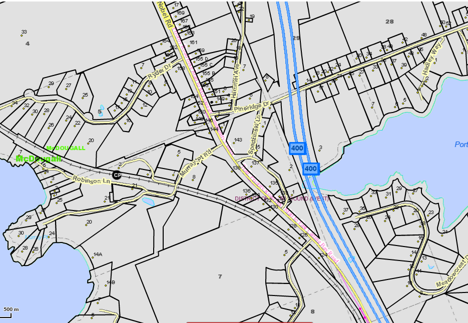
McDougall also has a comprehensive zoning by-law (pdf 1,234kb) that divides the municipality into different land use zones, with detailed maps (pdf 639mb). The by-law specifies the permitted uses (e.g. commercial or residential) and the required standards (e.g. building size and location) in each zone.